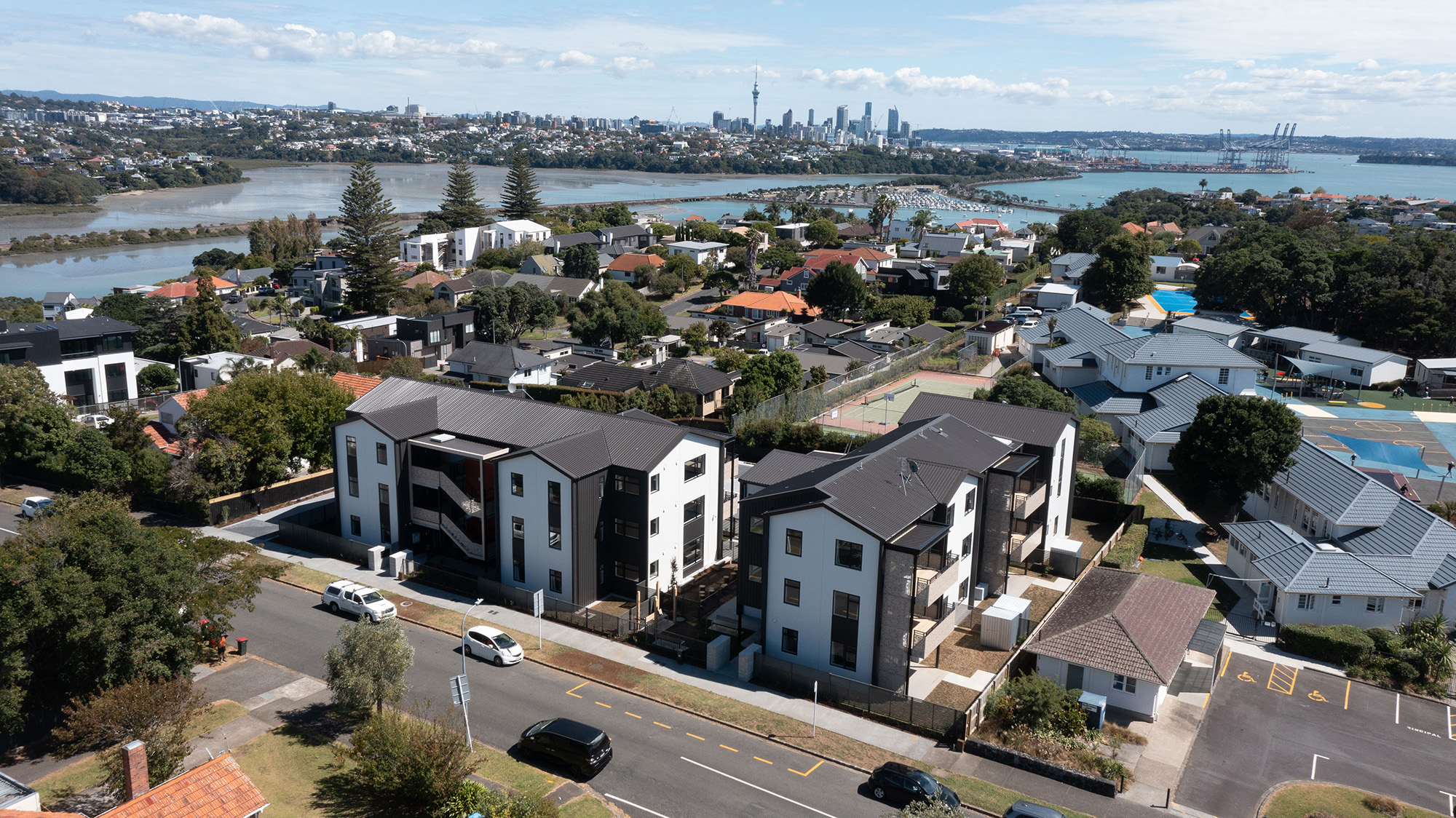
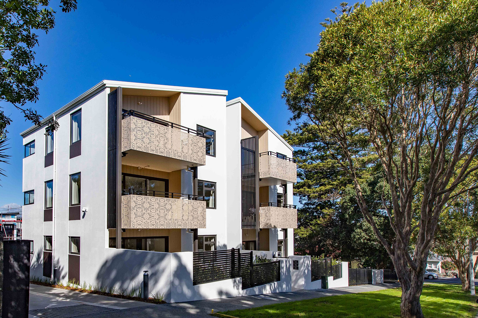
Ōrākei developments
 Back
Back
Grace Street Ōrākei
Sudeley Street Ōrākei
-
Location:
Ōrākei developments, Ōrākei, Auckland, Auckland
View our interactive map
The housing development information for Ōrākei has moved to an interactive map, incorporated under the Ōrākei Local Board area(external link).
Note: the Ōrākei area includes, but is not limited to Ōrākei, Meadowbank, Ellerslie, Glendowie, St Heliers, Remuera, Saint Johns, Stonefields, Kohimarama and Misson Bay
Kua whakahoungia te whārangi: 11 Poutūterangi 2024